India's Geospatial Market to Reach INR 1.06 Lakh Cr by 2030: Amitabh Kant
The Rise of Geospatial Technologies in India
Geospatial technologies have become a cornerstone of modern planning, offering countries the tools to design infrastructure, monitor development, and deliver public services with remarkable precision. In India, these technologies are now at the heart of digital governance, influencing decisions ranging from rural mapping to urban transformation.
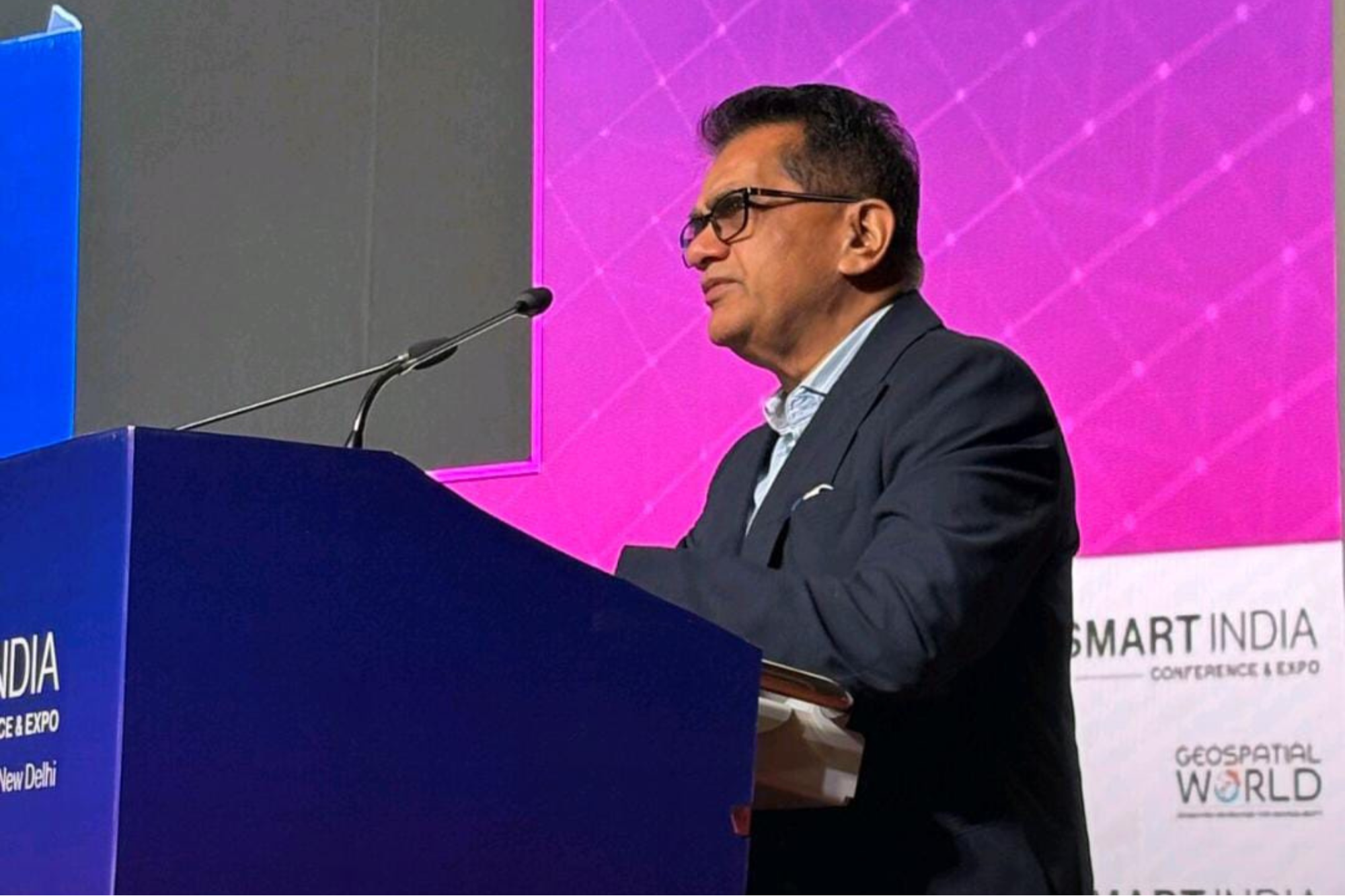
The Indian geospatial market is currently valued at INR 50,000 crore and is expected to nearly double to INR 1.06 lakh crore by 2030. This projection was made by Amitabh Kant, an IAS officer and Board Member at L and T, during his special address at the opening of the four-day GeoSmart World Conference and Expo 2025. He also highlighted that India's space economy is projected to reach USD 44 billion by 2033, a figure he believes should inspire greater national ambition.
Kant pointed out that the geospatial sector was opened up in 2021 after facing significant resistance. "The potential today is huge, but innovation must match the pace of India's ambitions. Geospatial technologies are foundational, and we cannot build a Viksit Bharat without them," he emphasized.
He warned that closed or restricted datasets can hinder progress and called for a shift toward open, interoperable, and machine-readable data. This move, he argued, would help India compete with nations like the United Kingdom, Singapore, and the Nordic countries.
Kant proposed a bold vision: "In the next 12 months, let's build one fully operational Indian city running on a live geospatial and AI operating system. Not a pilot, not a demo, but a real city with measurable improvements. One city can set a global benchmark."
India’s Transformation in the Geospatial Ecosystem
The conference began with reflections on India's rapid transformation in the geospatial and space ecosystem. The opening remarks described the nation's progress as explosive and purpose-driven, fueled by reforms that changed how India maps and manages growth.
Vivek Bharadwaj, an IAS officer and Secretary at the Ministry of Panchayati Raj, showcased the impact of the SVAMITVA programme. More than 3.5 lakh villages have been surveyed, and over 3 crore property cards have been issued. "This is not just mapping; it is rewriting the economic and social story of rural India," he said.
Manoj Joshi, an IAS officer and Secretary at the Department of Land Resources, explained India's emerging Land Stack. This initiative integrates base maps, verified plot boundaries, and unified parcel-level datasets. "A precise land map is the backbone of transparent governance, efficient planning, and citizen trust," he stated.
Other speakers emphasized the need for navigation independence, the growing role of GIS (Geographic Information Systems), the value of high-resolution aerial data, and the importance of unified mapping frameworks as India deepens its geospatial capabilities.
Key Takeaways from the Conference
The GeoSmart World Conference and Expo 2025 highlighted several critical themes:
- Open Data and Interoperability: Experts stressed the importance of open, interoperable, and machine-readable data to drive innovation and ensure India can compete globally.
- Technology Integration: The integration of geospatial technologies with artificial intelligence and other advanced systems was seen as essential for building smart cities and improving governance.
- Rural Development: Programs like SVAMITVA demonstrated how geospatial tools can transform rural areas by providing accurate land records and enhancing transparency.
- Land Management: The Land Stack initiative showed how integrated land data can support better governance, planning, and public trust.
- Global Competitiveness: India needs to adopt global standards in geospatial technologies to remain competitive and achieve its ambitious goals.
As India continues to invest in geospatial technologies, the focus remains on leveraging these tools to drive sustainable development, improve public services, and create a more transparent and efficient governance system. The insights shared at the conference underscore the transformative potential of geospatial data in shaping India's future.


